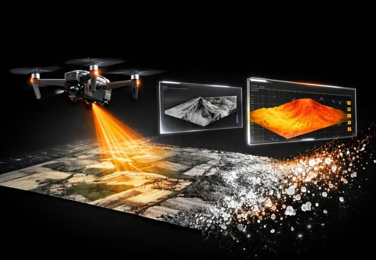
Topographic map from drone
This practical course will teach you how to transform a series of aerial photographs into high-precision topographic plans and engineering digital models. You will master the full cycle of geodata processing using a professional software stack to produce results that meet industry standards.
Who is this course for?
- Land Surveyors: Those looking to automate field workflows.
- Civil Engineers: For site monitoring and calculating cut-and-fill volumes.
- GIS Specialists: For creating up-to-date cartographic bases.
Course program and technical aspects
- Fundamentals of aerial photography and work with control points (GCPs).
- Importing images, leveling and generating a dense point cloud.
- Creating high-resolution orthophoto maps.
- Point classification (land, vegetation, buildings).
- Creating digital terrain models (DTM) and surfaces (DTM).
- Building contours and analyzing elevations.
- Data processing in AutoCAD Civil 3D.
- Creating a topographic plan in symbols.
- Preparing reports and calculating volumes (earthworks) based on drone data.
Software Stack
During the training, you will learn to work with:
- Pix4D: Photogrammetric processing and orthomosaic creation.
- CloudCompare: Filtering and classification of point clouds.
- Autodesk ReCAP: Preparing data for the CAD environment.
- QGIS: Working with geographic information systems.
- AutoCAD Civil 3D: The primary tool for creating DTMs and topographic plans.
Learning Outcome
You will learn to convert drone-captured data into high-precision topographic plans and digital terrain models. By the end of the course, you will be able to manage the entire workflow: from photogrammetry in Pix4D to point cloud classification and final engineering drawing preparation in AutoCAD Civil 3D.
You can find us on social media: